
Nile River and Its Branches Management Project
A national project to enhance the management of the Nile River and its two branches through data-driven approaches and modern digital technologies, while protecting the watercourse and improving its efficiency in addressing environmental and climate-related challenges.
350 Million m³/Day
Digital Management

The Nile… Powered by More Accurate Data
The project relies on a modern digital system to produce accurate and up-to-date maps and data that support understanding watercourse dynamics, monitoring changes, and protecting water resources.
Remote Sensing
Drones
GIS
AI
Key Project Implementation Areas
01 | Modern Digital Mapping
Defining the river alignment, setback and restricted zones.
Surveying encroachments and violations using drones and GIS.
02 | Property and River Floodplain Land Survey
Documenting encroachments and filled areas.
Supporting the implementation of Irrigation and Drainage Law No. 147 of 2021.
03 | Obstruction Removal and Dredging
Removing unauthorized buildings and structures.
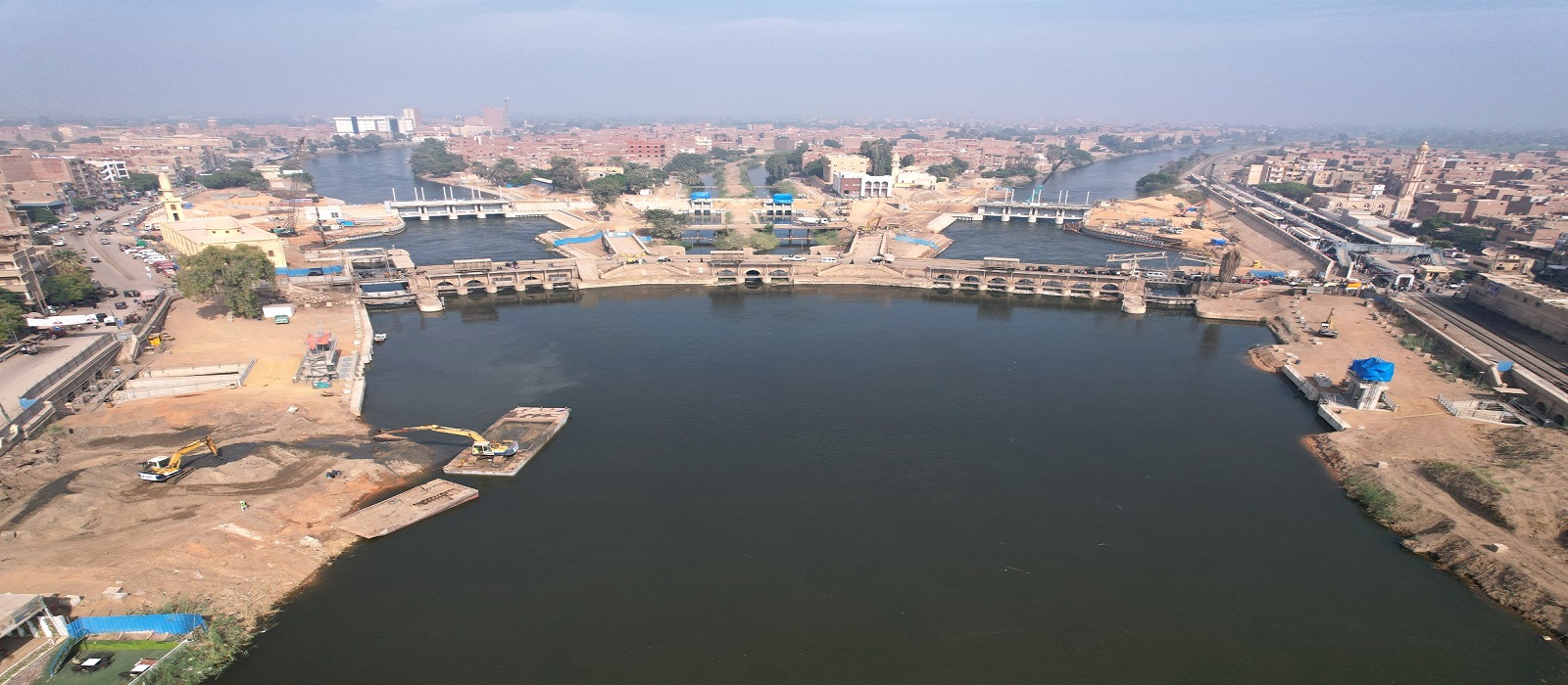
Carrying out dredging works and opening water inlets.
Installing clear markers to define the river protection zone.
From Data to Decision
Monitoring
Analysis
Identification
Implementation
Environmental Impact
Restoring Watercourse Efficiency
Addressing Climate Risks
Protecting the River Environment
The Nile and Climate Change
The project represents one of the components of the second generation of Egypt’s irrigation management system, integrating modern technology and data into watercourse management and preparedness for climate-related challenges.
Forecasting
Monitoring River Changes
Water Scarcity
Project Gallery
A Smarter Nile… More Efficient Management
The Nile River and Its Branches Management Project represents a step toward smarter and more sustainable watercourse management by harnessing technology and data to protect the river, strengthen water security, and support development.