
National Project for Regulating the Nile River and its two Branches
Project Overview:
In line with the Egyptian state’s vision to protect water resources and ensure their sustainability, and to implement an integrated strategy for adapting to climate change, the Ministry of Water Resources and Irrigation is executing the National Project for Regulating the Nile River and its 2 Branches. The project aims to develop the management of the river’s course and enhance its capacity to address environmental, climatic, and societal challenges.
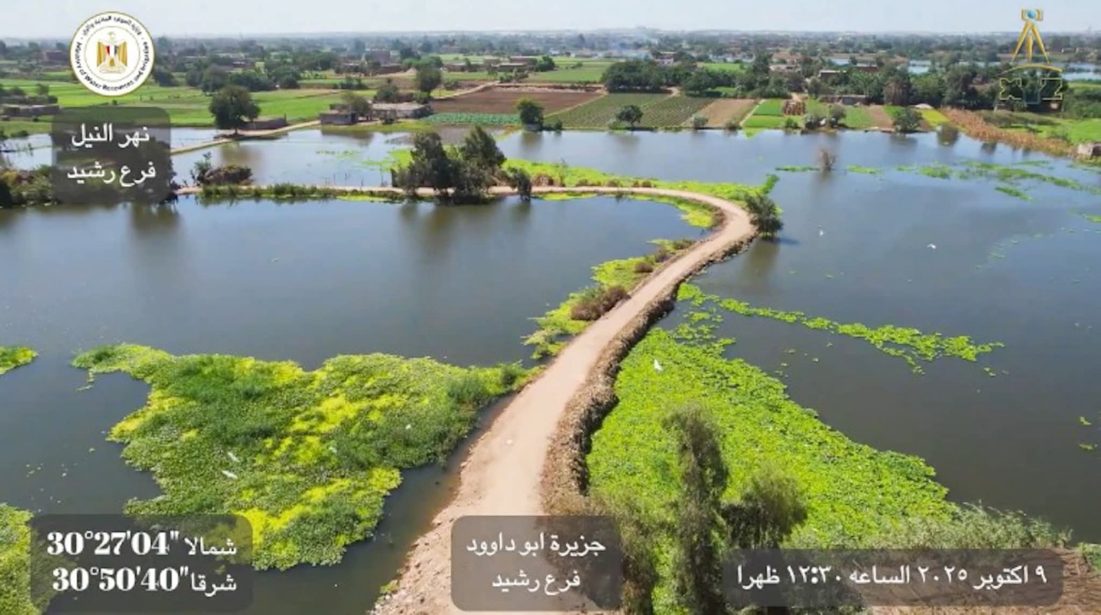
The project relies on the latest digital technologies, such as remote sensing, unmanned aerial vehicles (drones), Geographic Information Systems (GIS), and artificial intelligence, to produce accurate and up-to-date maps that support decision-making and more efficient river management.
Project Implementation Axes
First Axis: Producing Modern Digital Maps
This includes:
• Updating topographic and bathymetric maps of the river and its branches
• Defining trimming lines, restriction lines, and prohibition lines
• Inventorying encroachments and violations using drones and GIS systems
Second Axis: Inventorying and Surveying Public Properties and Riverbank Lands
This includes:
• Preparing accurate survey maps for public properties and riverbank lands
• Documenting encroachments and areas of backfilling
• Supporting the implementation of Law No. 147 of 2021 regarding the regulation of receiving and managing riverbank lands
Third Axis: Removing Encroachments Affecting Water Flow
This targets:
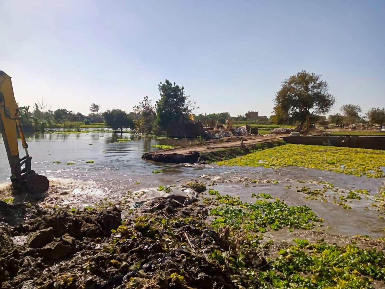
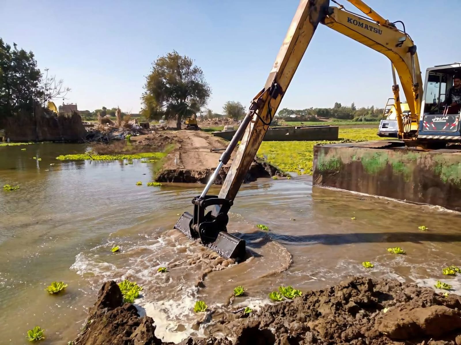
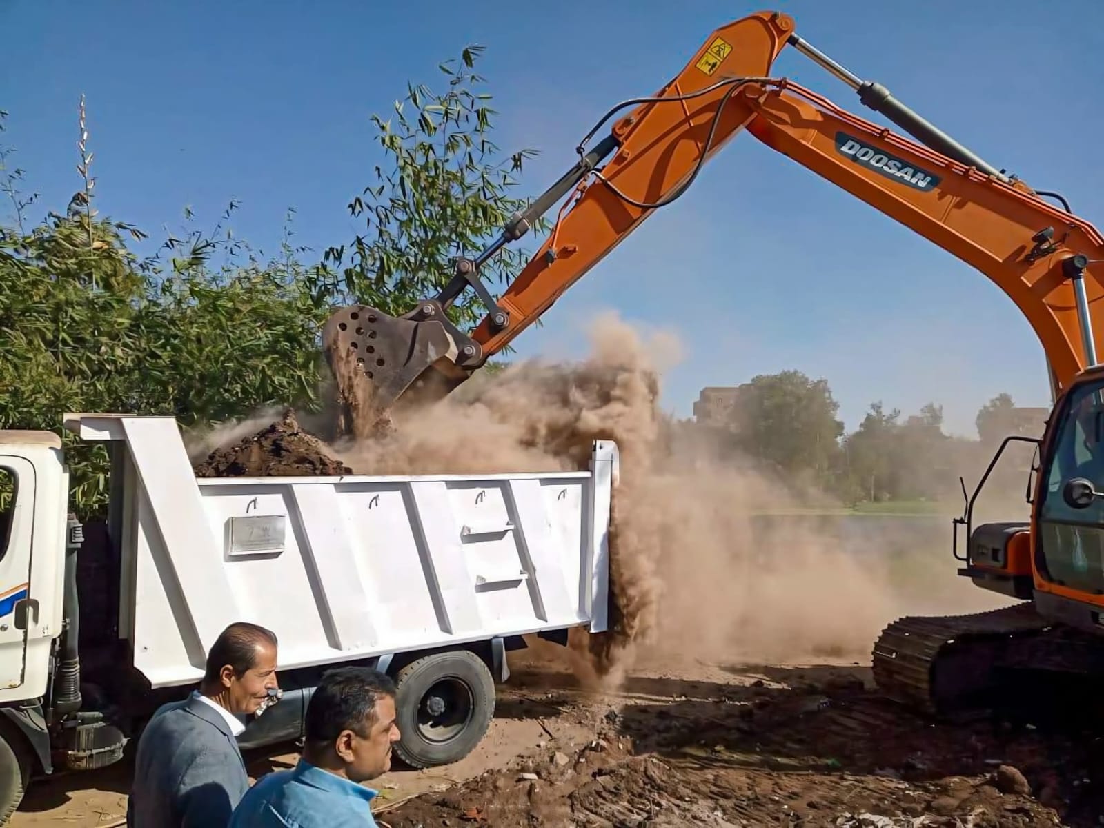
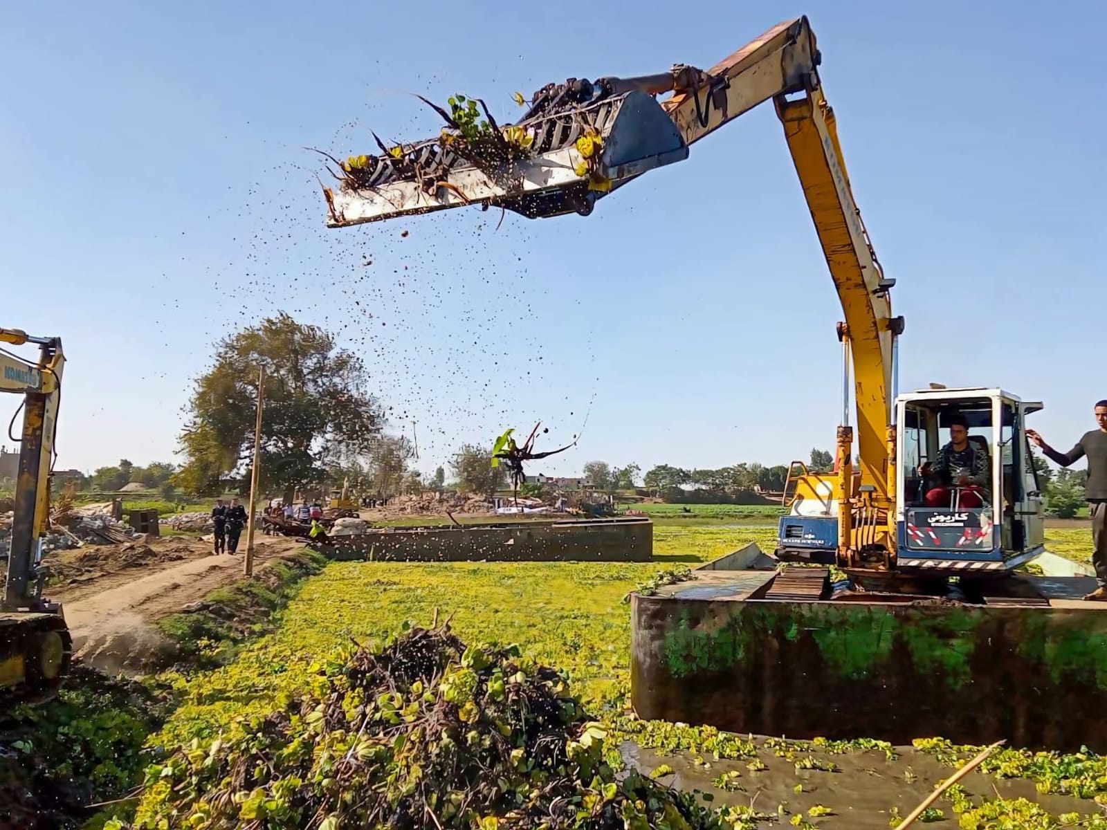
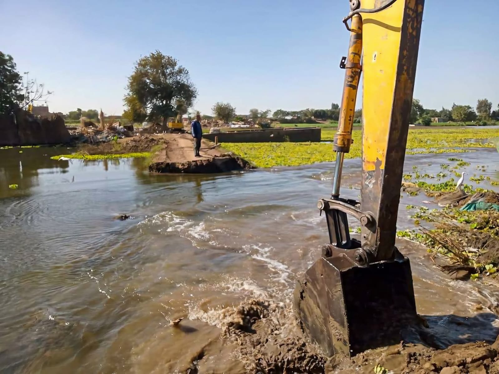
• Removing accumulated backfill from decades past
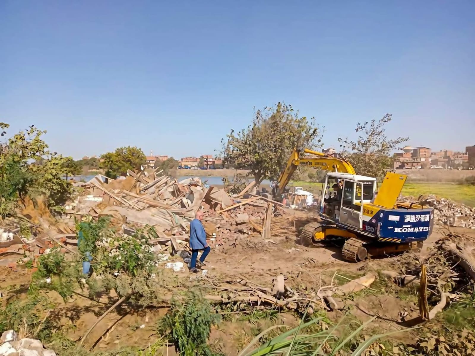
• Removing violating buildings on the Nile banks and riverbank lands
• Executing dredging works and opening side channels to improve discharge efficiency
• Placing field markers and clear boundaries for the river’s protected zone
Environmental Dimensions of the Project
Protecting the waterway and improving its efficiency through the production of digital topographic and bathymetric maps for the Nile’s course and its branches, which helps monitor ongoing morphological changes. Restoring the waterway’s discharge capacity and its ability to pass natural flows and emergency discharges up to 350 million m³/day.
Addressing the impacts of climate change by enhancing the state’s capabilities in dealing with flash floods and floods resulting from climate change, and strengthening disaster risk protection plans using accurate and updated data.
Protecting vital facilities and infrastructure by providing accurate survey data that aids in maintaining barrages, bridges, and major water structures, and reducing the impact of encroachments and backfilling that diminish the waterway’s efficiency and discharge capacity.
Preserving the riverine environment and water quality, as removing occupations and violations on the river banks and riverbank lands reduces pollution sources, supports the protection of the ecosystem, and enhances environmental sustainability.
Societal Dimensions of the Project
Protecting communities along the Nile banks by reducing flood risks and raising water security levels for residents. Regulating the legal river protected zone limits random construction and improves urban planning.
Enhancing justice in water distribution by removing encroachments that obstruct water flow, helping it reaching agricultural governorates according to actual needs.
Maximizing economic returns from state properties through documenting riverbank lands and public properties, which enhances their utilization value, reduces loss of state resources, and supports organized and safe use of lands adjacent to the river.
Supporting local development and investment by defining trimming, restriction, and prohibition lines, which improves planning and urban development, and creates an environment suitable for investments related to the waterway.
The Project’s Relation to Climate Change
Enhancing the state’s adaptation capacity, as the project represents a key pillar in the second generation of the Egyptian irrigation system, based on integrating modern technology and data, which helps in:
• Predicting climatic phenomena
• Supporting responses to rising sea levels and changes in river behavior
• Addressing water scarcity and changing rainfall patterns through improved waterway management and reduced losses